Unveiling Earth’s floodplains

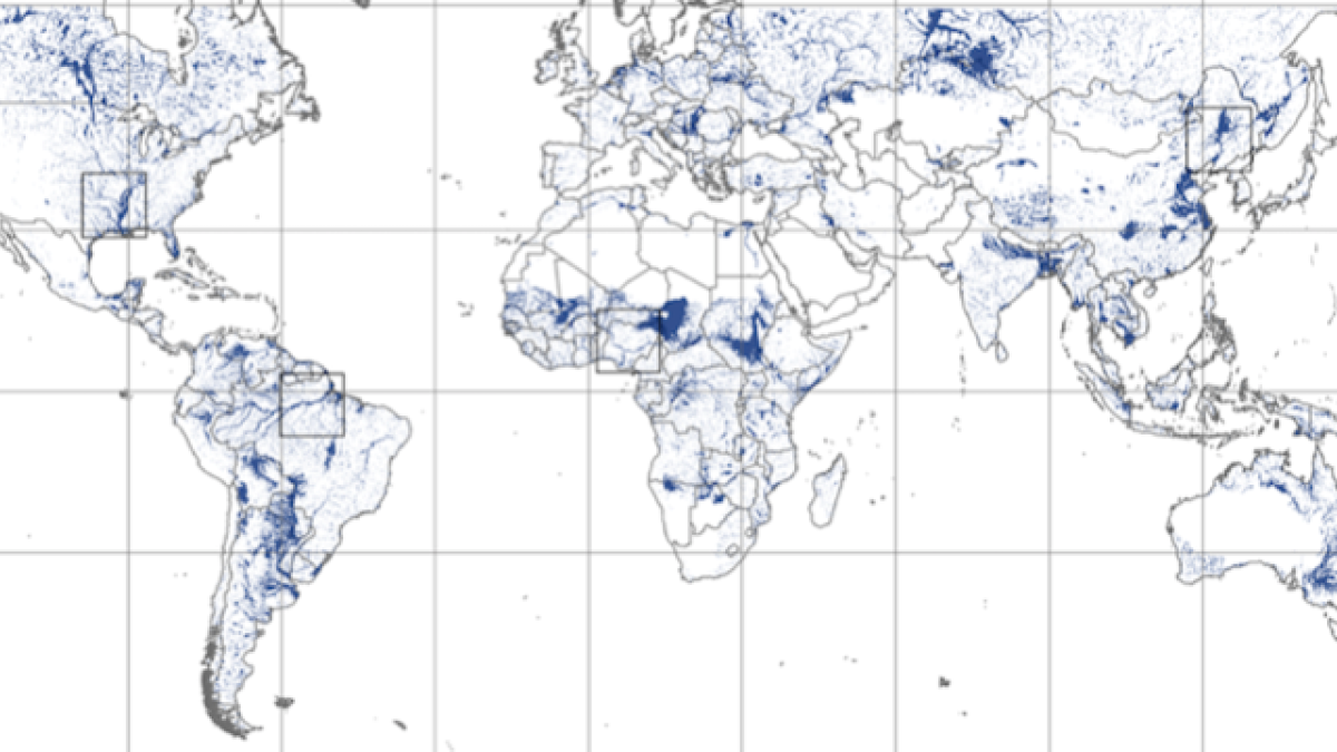
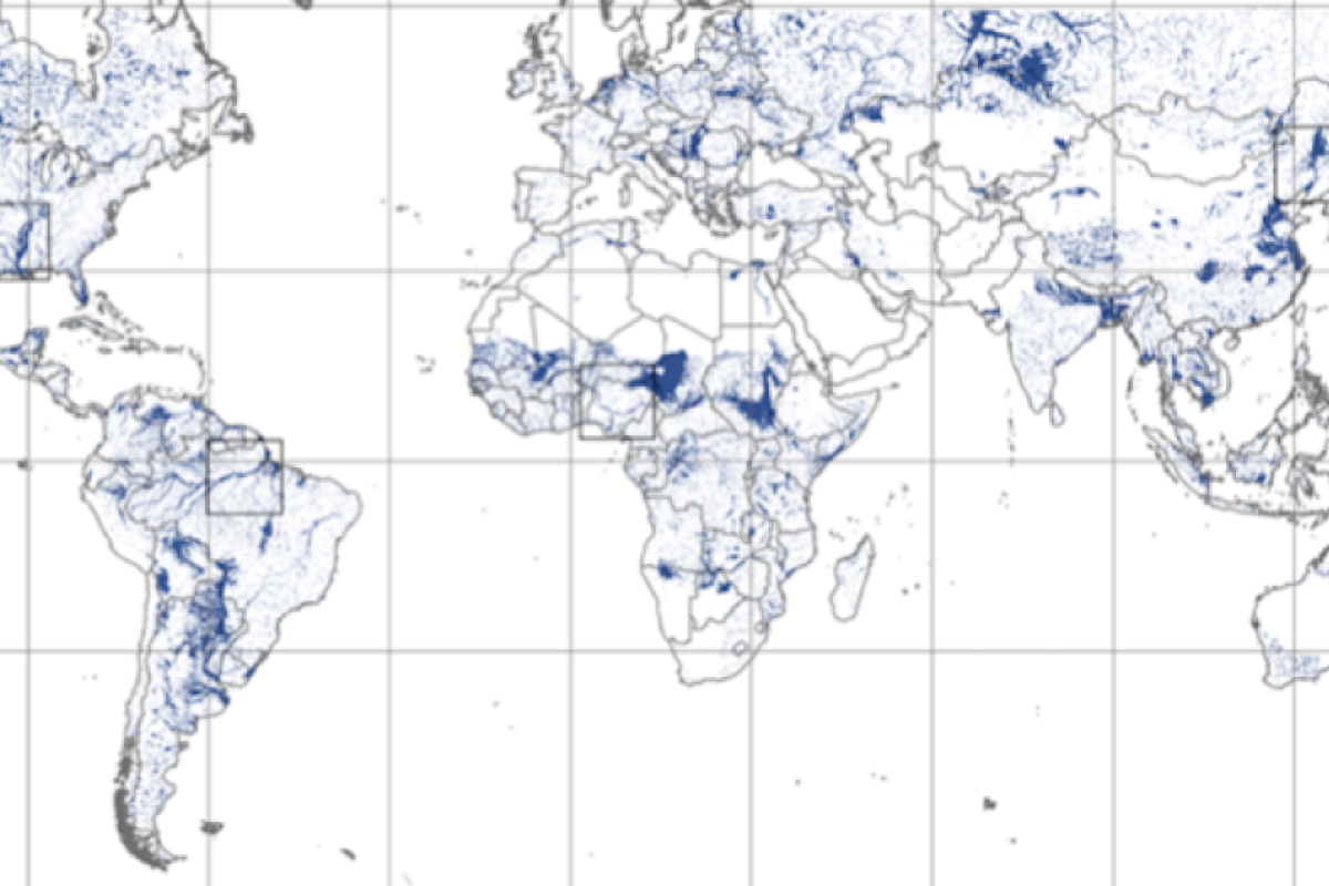
The “GFPLAIN250m” dataset depicting Earth’s floodplain boundaries.
Fluvial landscapes and the availability of water are of paramount importance for human safety and socioeconomic growth. Hydrologists know that identifying the boundaries of floodplains is often the first crucial step for any urban development or environmental protection plan.
Floodplain zoning is usually performed using complex hydrodynamic models, but modeling results can vary widely across methods and until now there has been no available unifying framework for global floodplain mapping.
With the increased availability of remote sensing technologies, however, scientists now have access to high-resolution datasets on Earth’s surface properties at the global scale.
As a result, an international team of scientists, including Arizona State University hydrologist and Professor Enrique Vivoni of the School of Earth and Space Exploration, has published the first comprehensive high resolution map of Earth’s floodplains in the Nature journal Scientific Data.
"Progress made in remote sensing has truly revolutionized our capacity to monitor the Earth,” said Vivoni, who also holds a joint appointment at ASU’s School of Sustainable Engineering and the Built Environment. “Since floodplains are so important to population centers, economic activities and transportation, it is indeed critical to be able to identify their extents. With this new view of Earth's floodplains, we can now characterize the human footprint on these globally significant environments."
The international research project team, which includes ASU’s Vivoni, was led by hydrologist Fernando Nardi of the Water Resources Research and Documentation Centre of the University for Foreigners in Perugia (Italy). Additional hydrologists on the team include Antonio Annis, also of the University for Foreigners; Salvatore Grimaldi of the Tuscia University of Viterbo (Italy); and Giuliano Di Baldassarre of Uppsala University (Sweden).
The geomorphic floodplain zoning tool known as GFPLAIN — for Global Floodplain — is an open-source program that can be shared with scientists and professional around the world. It will allow them to identify floodplain boundaries, identify morphology and landscape patterns and process regional topographic datasets in minutes or even seconds on a continental scale.
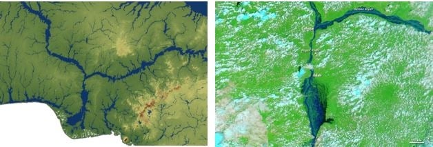
“Observing any aerial image of fluvial corridors, one can clearly distinguish floodplain boundaries by their unique shapes and colors,” explained lead author Nardi, associate professor and director of the Water Resources Research and Documentation Centre at the University for Foreigners of Perugia.
“These unique floodplain properties are linked to water-driven erosion and deposition processes, mainly associated to historical flood events, that give shape to fluvial landforms,” Nardi said. “We found and exploited the principle that global topographic datasets implicitly contain the floodplain extent information, and we have released the first global geomorphic model of Earth’s floodplain together with a easy-to-use tool that both researchers and professional can use for their floodplain mapping projects.“
By sharing the dataset of global floodplains as open data, the research team has provided novel opportunities for scientists and professionals worldwide to develop sustainable water management plans and to gain a better understanding of complex floodplain-urban interactions, especially in data-poor river basins that are stressed by growing human populations.
More Science and technology

Hack like you 'meme' it
What do pepperoni pizza, cat memes and an online dojo have in common?It turns out, these are all essential elements of a great…

ASU professor breeds new tomato variety, the 'Desert Dew'
In an era defined by climate volatility and resource scarcity, researchers are developing crops that can survive — and thrive —…

Science meets play: ASU researcher makes developmental science hands-on for families
On a Friday morning at the Edna Vihel Arts Center in Tempe, toddlers dip paint brushes into bright colors, decorating paper…


